

A Map of Medieval London : The City, Westminster and Southwark - New S
A Map of Medieval London : The City, Westminster and Southwark - New S
Low stock: 10 left
Free Shipping
Couldn't load pickup availability
About this Item
The item is a book Sheet map
The Title is A Map of Medieval London : The City, Westminster and Southwark
Condition New
Other Comments
New Store Stock
Product Description -
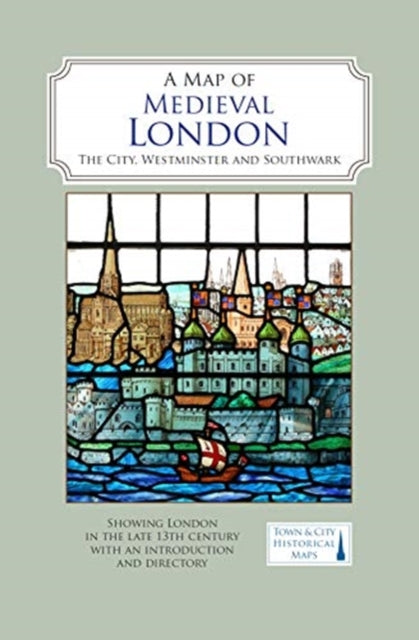
A full colour map showing London about 1270 to 1300 - its walls and gates, parish churches, early monasteries and hospitals, and a growing number of private houses. The city's streets and alleyways had been established. Dominating London are the Tower of London in the east, the old St Paul's Cathedral in the west and London Bridge in the south. Up-river in Westminster, the abbey and the royal palace had been well established, and the great Westminster Hall is very evident. London's playground in Southwark was beginning to grow.
When possible we will add details of the items we are selling to help buyers know what is included in the item for sale. The details are provided automatically from our central master database and can sometimes be wrong.
Books are released in many editions and variations, such as standard edition, re-issue, not for sale, promotional, special edition, limited edition, and many other editions and versions. The Book you receive could be any of these editions or variations. If you are looking for a specific edition or version please contact us to verify what we are selling.
Gift Ideas
This is a great gift idea.
Hours of Service
We have many warehouses, some of the warehouses process orders seven days a week, but the Administration Support Staff are located at a head office location, outside of the warehouses, and typically work only Monday to Friday.
Location ID 245z
iHaveit SKU ID 1350152372
SKU: SKU:1350152372
Materials
Materials
Dimensions
Dimensions
Care Instructions
Care Instructions
Shipping & Returns
Shipping & Returns

Free Shipping
We provide free shipping for all products within the UK